Lobo Canyon Trail (and petroglyphs)

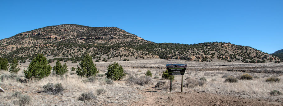
This walk to the Lobo Canyon Petroglyphs is only about 3/4 of a mile round trip, but it takes you into the 61,600 acre Cebolla Wilderness. The top of Cebolleta Mesa to the east is Acoma land, but otherwise the local non-wilderness land is federal public land. In other words, plenty of room in which to wander about. The Lobo Canyon Trail crosses a large arroyo and clay-rich soils, so it’s not one for wet weather. When I was there in 2024, I had no cell service.
The Lobo Canyon trailhead is a two hour drive from Albuquerque. Head west on I-40 and turn south on NM 117. Continue south for about 26 miles (the ranger station you’ll pass has the last flush toilets before the trailhead). Turn left onto Cebolla Canyon Road (graded and graveled). The turnoff isn’t clearly marked; it’s at 34 deg. 46.675 min. N, 107 deg. 56.469 min. W. After about 3 miles, the road forks at 34 deg. 44.211 min. N, 107 deg. 55.691 min. W. Look for an easily overlooked sign that points left to Cebolla Canyon and right to Sand Canyon. Take the left fork. About 2 miles later (at 34 deg. 43.368 min. N, 107 deg. 54.039 min. W), a turnout to the right is the parking area for the Lobo Canyon Trail.
After parking, cross the road and head NNE, past the sign marking the trailhead. The trail is a bare rut with occasional low cairns. About 100 meters into the hike, you’ll drop into a large arroyo. As you climb out the other side, stay left of the large tributary arroyo. Continue northeast, then NNE, as you explore up Lobo Canyon. After stopping somewhere for lunch, retrace your steps to complete the hike.
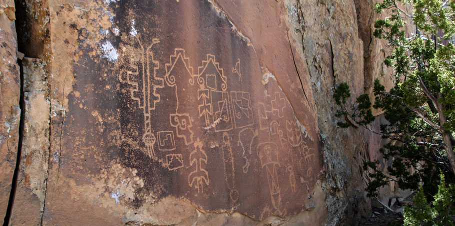
The BLM web site mentions the petroglyphs but doesn’t provide an exact location, so neither will I. Instead I’ll provide the location and directions on a password-protected page. I’ll provide the password to legitimate visitors who contact me directly. You can do that via my Contact page, tabbed at the top.
