Holiday Mesa

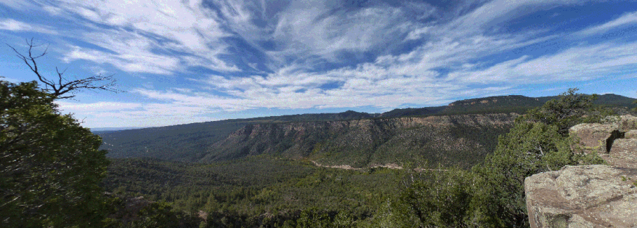
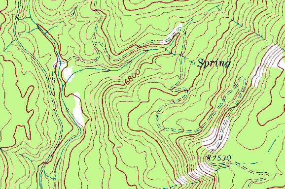
Other than the elevation changes, a straightforward hike, about 4 miles to the top of the mesa and back. The route follows an old road shown on the following segment of USGS topo map.

Driving north from San Ysidro, turn off on NM 485 (becomes FR 376) and head past the Gilman Tunnels. At 35 deg. 45.946 min. N, 106 deg. 47.326 min. W, as the road bends to left, turn off to the right. This puts you on a two-track that parallels the main road for about 200 m as it drops to the valley bottom. The two-track is very rough, so for most vehicles it’s best to park next to the main road and hike the two-track down to the ford.
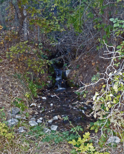
You will need to cross at the ford and the water probably will be too high for rock-hopping. Once across, continue to 35 deg. 46.273 min. N, 106 deg. 47.197 min. W. There, take the right turn and continue up the side canyon, then bend right (south). Hike on up the road as it zigzags up the mesa. In October 2013 the spring shown on the USGS map was active, creating a tiny stream tumbling down the mesa side and across the road. As with all water sources in the Southwest, you need to purify before drinking.

At 35 deg. 45.846 min. N, 106 deg. 46.731 min. W the old road reaches the mesa top and turns sharply to the east. You can follow the road into the interior of Holiday Mesa or explore along the mesa rim, before heading back down the old road to your car.
