Gravel Pit Trail in the Sandia Mountains

Despite its prosaic name, the Gravel Pit Trail (No. 339) is worth checking out. I can’t find a description in Mike Coltrin’s excellent guide to the Sandia Mountains, but you’ll find it on the color map accessed via this page. The Gravel Pit Trail closely parallels the Crest Trail between Kiwanis Meadow and the Four Seasons Nature Trail (No. 97), which in turn are between Crest House and the upper tram terminal. Both times I’ve used the Gravel Pit Trail, the weather was poor and it was a lovely way to avoid the wind tearing over the crest of the ridge.
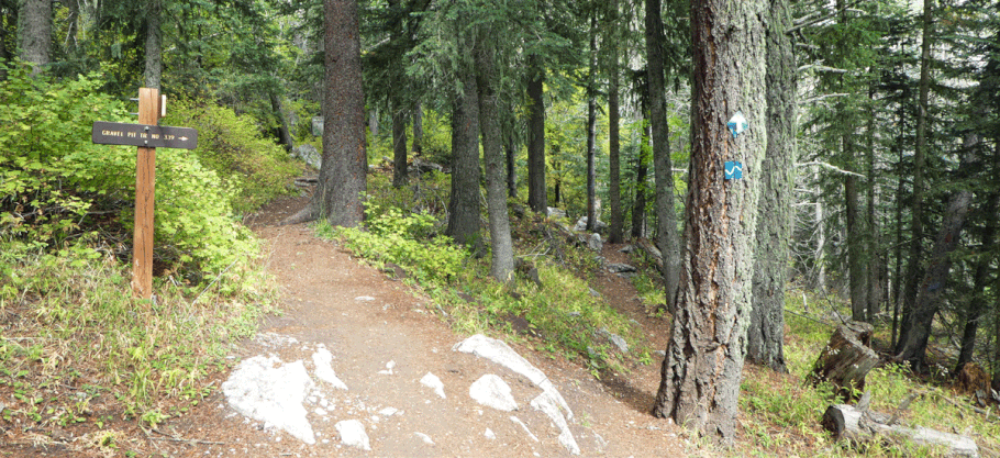
The Gravel Pit Trail doubles as a cross-country ski trail in the winter, so is marked by blue diamonds. Both ends are clearly marked with trail signs. The north end, at 35 deg. 12.316 min. N, 106 deg. 26.455 min. W, branches off the Crest Trail next to Kiwanis meadow. The quickest access to this end is to park at the Ellis Trail parking area, head a short distance south on Service Road 488, and turn right onto the Kiwanis Meadow Trail (No. 16). The south end of the Gravel Pit Trail branches off from the Four Seasons Nature Trail (Coltrin’s Peak Nature Trail; No. 97), at 35 deg. 11.889 min. N, 106 deg. 26.106 min. W. The trail doesn’t last long—the two ends are about 0.6 mile apart, as the crow flies—but while it lasts it’s a pleasant path, mostly among tall trees and visually striking limestone outcrops. In a meadow where the gravel pit used to be, the vista extends about 50 miles and includes the southern Sangre de Cristo Mountains.

The Gravel Pit Trail, the Crest Trail, and the Rocky Point Trail (No. 9) let you head south from the Ellis Trail (No. 202) parking area while minimizing your use of Service Road 488. By taking one of those trails south and a different one north, you can create an easy, pleasant loop hike that takes roughly half a day.