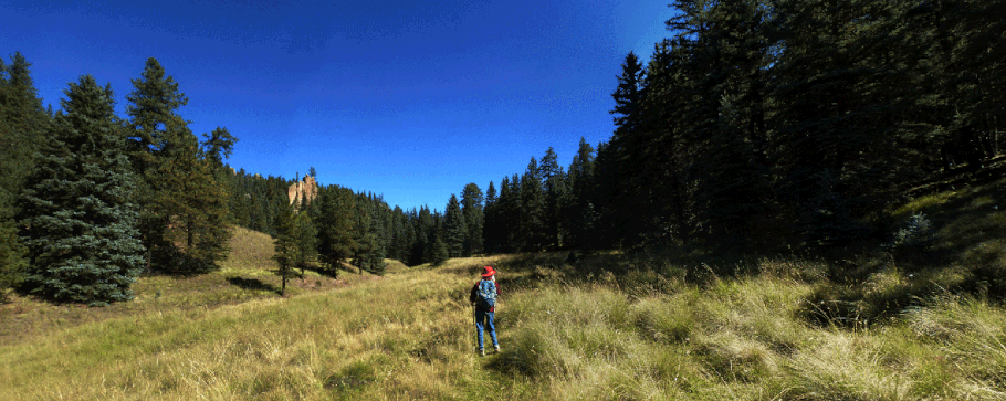
Calaveras Canyon in the Jemez Mountains

An easy high-elevation hike through mountain meadows. Cool and pleasant in summer, with patches of aspens to brighten your fall. Measured waypoint to waypoint, this hike is a 6 mile hike round trip—but it’s an in-and-out hike with no specific goal, so you can hike as little or as much as you wish.
From San Ysidro, drive north on NM 4 through Jemez Springs. At La Cueva, turn onto NM 126 and follow that highway to Fenton Lake, then to Seven Springs where the pavement ends. Continue on the graded road and park near a split rail fence, at 35 deg. 56.462 min. N, 106 deg. 42.390 min. W (8130 feet). There's room for only two or three cars to pull off without blocking the highway.
The hike proceeds northeast along the bottom of Calaveras Canyon. Once parked, head to a 6 inch pipe. Turn left and follow the pipe until you encounter a two-track. Follow the two-track up the canyon, through the site of a UNM water quality research project, and pass through an old gate at 35 deg. 56.663 min. N, 106 deg. 42.137 min. W. As you continue up the canyon bottom, the two-track dwindles.
At 35 deg. 57.485 min. N, 106 deg. 41.438 min. W (8340 feet), the trail forks. If you take the left fork you'll pass through a screen of trees and will find yourself in a large side canyon, heading northwest. Here I'll assume that you continue up the main canyon (north-northeast). At 35 deg. 58.586 min. N, 106 deg. 40.826 min. W (8430 feet) you will be in a meadow with three options for exploring: a side canyon to the left, the main canyon in the middle, and a short side canyon to the right. Or have lunch somewhere around here, and retrace your steps to return to the car.

The "side valley" option

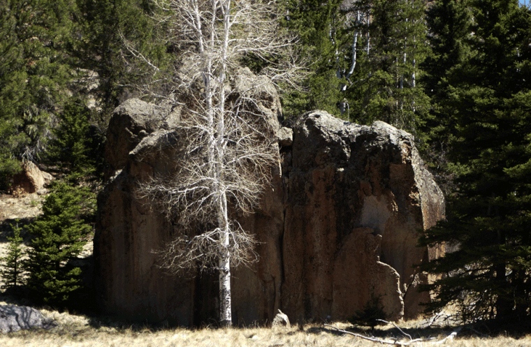
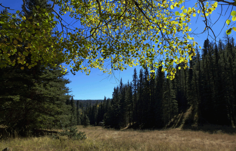
At 35 deg. 57.485 min. N, 106 deg. 41.438 min. W, you'll be at the scene shown above. The main valley hike passes up the valley you're in already, past the tree in the middle of the photo. The side valley hike that begins here is worth a trip of its own. Once at the coordinates, take the left fork in the faint trail and pass through the screen of trees to your left (past the the aspen in the picture). Follow the trail up a new meadow, where you'll soon pass the aspen shown below.


At 35 deg. 57.830 min. N, 106 deg. 41.669 min. W (8390 feet) you'll encounter the water trough shown to the left (unfortunately, quite dry). At this spot the meadow bends to the right and keeps climbing, but if you head that way you'll be following a minor branch of the side valley. To maximize your explorations, head northwest through the trees just left of the local outcrop (both are shown in the photo) and continue up the main branch of the side valley.
(If you bend right at the dry steel tank, there's no trail that I can make out. Most of that valley bottom is tufts of grass and gopher holes; by keeping to the right edge of the valley, at the trees, you'll find better footing. At the upper end of the meadow you'll enter a shady, narrow-bottomed canyon—a pretty place for lunch on a hot, sunny day.)
